Dimensions : 370 X 570 X 50 mm
No. 32
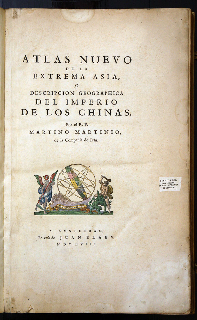
BLAEU, Johannes and MARTINI, Martinus. Atlas nuevo de la extrema Asia, o descripcion geographica del Imperio de los Chinas
Juan Blaeu, Amsterdam 1659. Folio. Engraved title and 17 double-page engraved maps with FINE ORIGINAL FULL BODY COLOUR HIGHLIGHTED IN GILT, some light discolouration throughout (as often), previous ownership labels of 'Senor Marques de Astorga' and 'The Free Library of Philadelphia', discrete de-accession stamp and accession number to initial leaves, publisher's vellum over boards, gilt covers panelled with stylised foliate roll, and large central and corner arabesques, vellum split at spine, title in manuscript on spine, gilt edges, ties, covers scuffed and vellum loose on lower cover.
A particularly sumptuously coloured example of the first and only Spanish edition of the Blaeu/ Martini atlas.
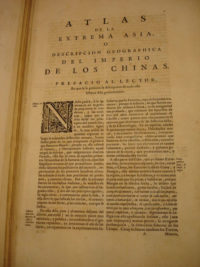
Martinus Martini (1614-1661) began work in 1642 as a Jesuit missionary in China. He was ordered to Rome in 1651 and took numerous books and maps with him, including a copy of manuscript atlas of the Chinese Provinces by Zhu Siben, compiled in 1311/12, with revisions from the printed atlas by Lo Hongxian (1555). Martini's ship was captured by the Dutch and brought to Java, and Martini himself was sent to Amsterdam, where he arrived in 1654. During the voyage, Martini kept himself employed by translating the text into Latin and writing his own description of China. In 1659, Martini succeeded in persuading Blaeu to engrave and publish his sketches and descriptions and a Latin translation appeared, without maps, entitled 'Sinicae historiae decas prima'. The text in the atlas is Martini's own account, written in the first person, of the geography, history, manners and customs of the Chinese empire and its peoples.