Dimensions : 300 X 430 X 30 mm
No. 30
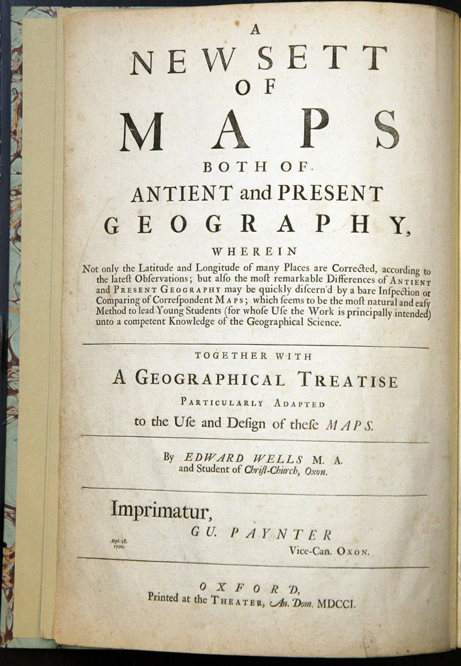
WELLS, Edward. A New Sett of Maps both of Antient and Present Geography…
Oxford, 1701. Folio. Title, contents, 41 double-page engraved maps, 40 with FINE CONTEMPORARY OUTLINE HAND-COLOUR, each map with stamp of 'School of Geography, University of Oxford' to verso, skilfully repaired tear to map of Italy, Claes Janszoon Visscher's engraved map 'Geographische Beschryvinge, van de Wandeling der Apostelen Ende Pauli....' pasted to lower paste-down endpaper, bookplate of 'School of Geography, University of Oxford', modern quarter brown morocco.
It is most unusual to find this atlas with contemporary colour. The map of 'English Plantations in America', supplied from another copy of the atlas, is uncoloured.